Research in Kiel looks at human impacts on the coast, and at possible measures to protect its populations and assets. Integrated models point to vulnerable spots, and suggest solutions for adaptation to a changing environment.
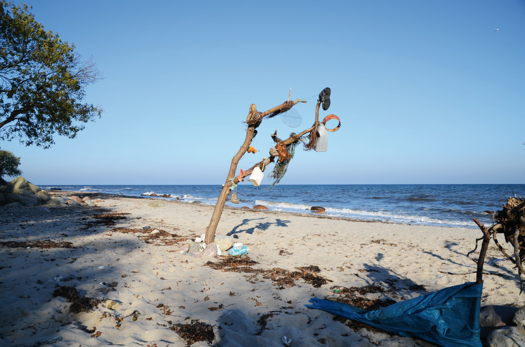
The coast is where human activity meets the ocean. Events there show us whether this encounter is sustainable and healthy. It typically falls into one of four categories: the exploitation of coastal resources, the installation of commercial infrastructure, the maintenance of coastal settlements, and recreation. These four have overlapping effects.
An example of the relationship between people and the ocean breaking down is the Baltic "stone fishery," a now defunct industry which gathered big boulders from the seafloor for construction and other uses. Removing them speeded up the erosion of the seafloor, and deprived species such as mussels of the firm surface they need to grow on.
Partly because of the stone fishery, the Baltic coast is now eroding and the seafloor is being abraded away to reveal new stones. Kiel researchers including Klaus Schwarzer, a coastal geologist, are mapping them as they appear and in the process, finding out about the effect of storms on the seabed below [1].
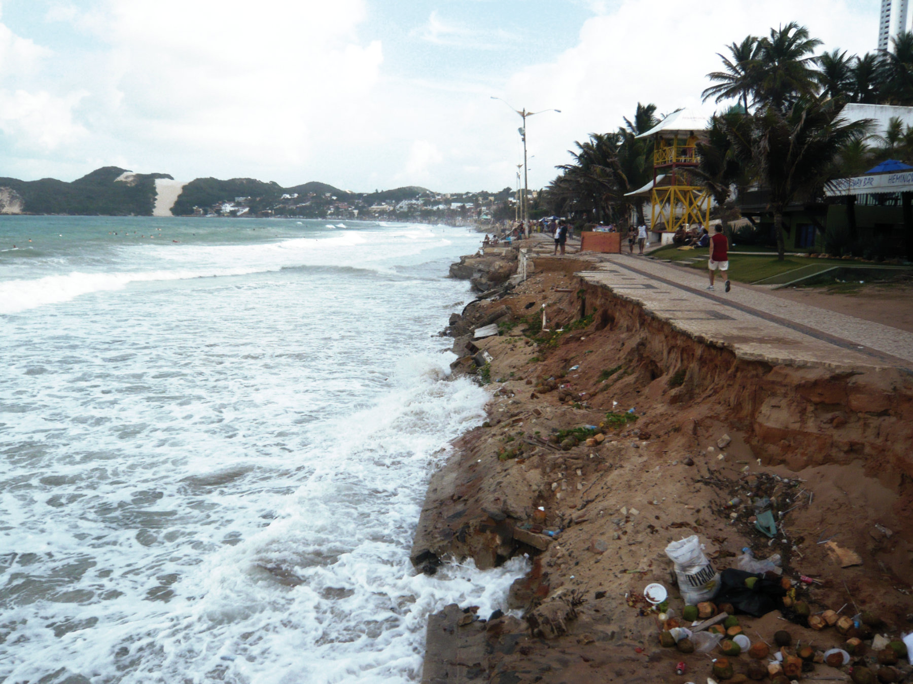
The scope for these offshore surveys to produce new knowledge has been expanded by the growing capability of detector technology. In the past, sonar has been used mainly to determine water depth and to map seafloor topography. Now its return signals, called backscatter, can be analysed to tell the difference between rock, algae, shells or seagrass at the ocean floor. This innovation removes the need for expensive and damaging grab-sampling of the seafloor. Kiel researchers including Karl Stattegger are also looking at coastal erosion, now a topical concern because of sea-level rise. Work carried out in Europe and Brazil suggests that "beach nourishment" with fresh sand works better to slow erosion than attempts to stop the sea with massive concrete structures.
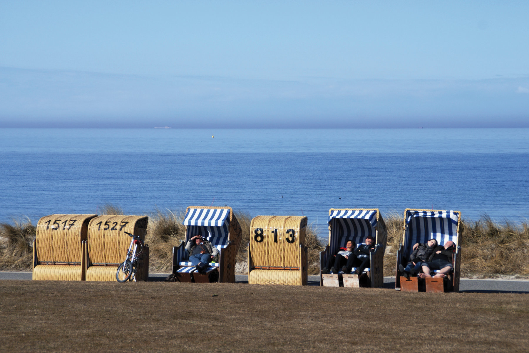
Coastlines around the world are the place where people and ocean meet. They provide sought-after places to live or to do business, and are home to vital infrastructure. Researchers at Kiel are looking at the future of the coast in an era of climate change, sea-level rise and population growth.
On Sylt island in the North Sea, 1.7 million cubic metres of sand are used for beach nourishment each year. Kiel research points to improved ways of managing this investment. They have found that it might work better to put a large amount of sand on the beach every 20 years instead of small amounts annually. This would allow local benthic life, organisms living in or close to the seabed to reinvigorate itself over a longer period, instead of being swamped by new sand every 12 months.
At the same time, even this apparently green form of sea defence can have undesirable environmental effects. The sand is usually obtained offshore. There is now evidence that the pits left in the seafloor where this extraction occurs can be long-lived.
This finding suggests the need for a policy rethink on coastal erosion. There is a long history in Germany of protecting or reclaiming coastal land. But as sea level rises and removes coastal material, those rocks and sediments have to go somewhere. A cliff that vanishes into the sea can turn into a new area of low-lying or swampy land. This effect can be seen at work in the Baltic islands, some of which have grown in size as their cliffs have been lost. Schwarzer says: "This proves the need to look at these sites case by case. The Baltic is very different from the North Sea. It has its own tidal regime and geology."
Researchers from Kiel are also looking at the condition of Europe's seas to help implement EU guidelines for "Healthy and Productive Seas and Ocean." This involves charting the habitats and environments of the North Sea and the Baltic at less than 1km resolution, the current standard for mapping the sea in these regions.
The information generated from this research will have economic as well as environmental uses. It will be needed to plan offshore wind farms and other renewable energy installations, to regulate fishing, and to conserve natural resources. Because of its high practical value, this work is being carried out in collaboration with federal environment agencies and the Alfred Wegener Institute, a German centre for polar and ocean research. The programme has started with a look at the seabed and the sediments that underlie it, and will focus next on benthic organisms.
What problems arise where people and ocean meet? How do the coasts develop and react to human impact? Can we learn from past sea level rise? What risks does the ocean pose to communities in coastal areas?
Kiel research shows that integrated assessments are needed to evaluate the consequences of rising sea levels. And it points to possible solutions which take account of human and economic reality.
SEA-LEVEL CHANGE AND HUMAN INTERVENTION IN VIETNAM
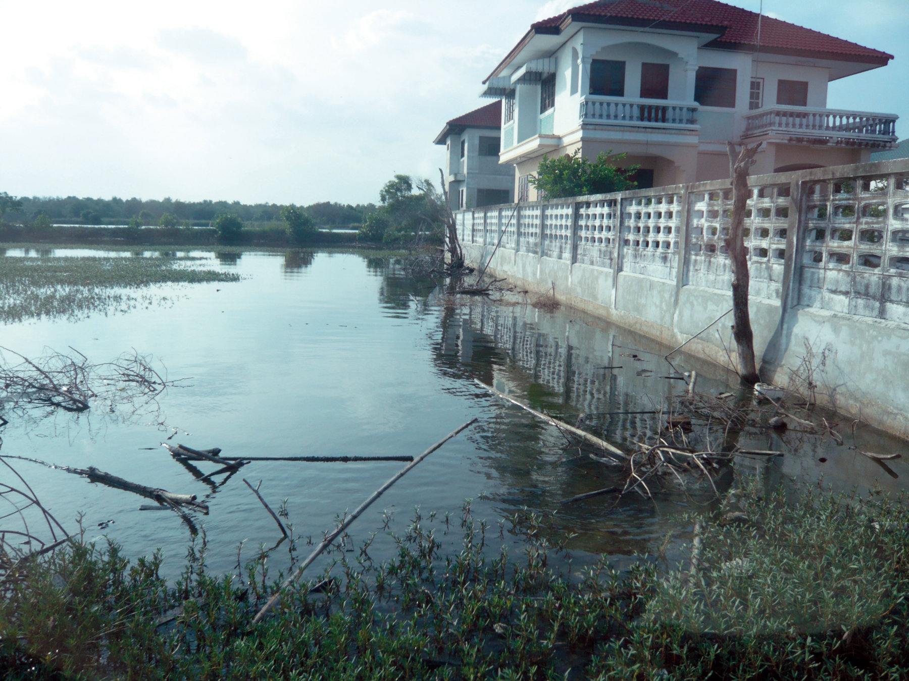
Kiel scientists are valued around the world for their advice on coastal zone issues. A special focus is Vietnam. They are working in the Mekong Delta, a large land area which is mostly less than 2m above sea level. While this low elevation already poses problems, things may well get worse, and not only because of sea-level rise [4].
Here and in other Asian megacities, Kiel researchers find that groundwater extraction increases the rate at which the land subsides, adding to the problem of rising sea levels. Areas of the delta are subsiding at different rates as the sediment below them compacts. At the same time, the massive dams that have been built on Asia's major rivers catch sediment that would previously have found its way to the delta and helped reinforce it, and this encourages further subsidence. Klaus Schwarzer, a
marine and coastal geologist at Kiel, says that 90 per cent of the sediment that once travelled down the Yellow River in China is now trapped in this way. As he sees it, "Sea-level rise is not a simple issue. It is to do with the response of the coast to human intervention." If the Mekong delta becomes uninhabitable, millions of people will be displaced and valuable farmland will be lost. Because flooding by seawater pollutes the land with salt, the delta is already becoming less productive for
agriculture.
SEA LEVEL RISE AND COASTAL RISKS
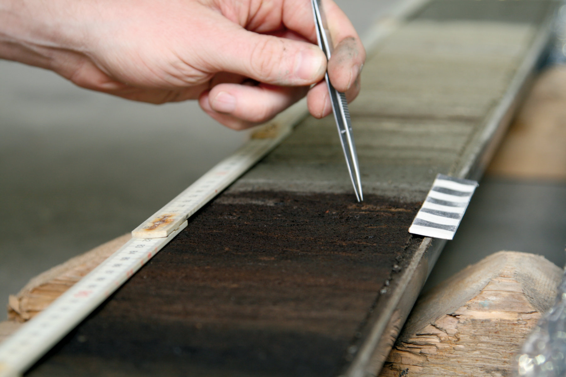
But what do we know about the effects of sea level rise? One way to learn more is by examining the most recent major rise in sea level, which took place at the end of the last Ice Age. It happened from about 20,000 years ago onwards, but we know that it was not a smooth process. It involved several short time intervals of strongly accelerated sea-level rise caused by so-called meltwater pulses, which indicate increased melting of the polar ice caps of Greenland and the Antarctic. A well-documented meltwater pulse occurred between 14,800 and 14,200 years before the present. But a similar event between 9000 and 8200 years ago remains controversial. Knowledge of these meltwater pulses is important for predicting future sea level rise as a consequence of global warming.
Karl Stattegger's research shows that this last meltwater pulse, which involved a sea level rise of more than 20 metres, is well documented along the coast of Vietnam in Southeast Asia. He says there was "extremely fast flooding of the South Vietnam shelf region between 9000 and 8200 years ago, which caused a shoreline migration of up to 300km," He adds: "Better understanding of these regional sea-level records can help to improve our models of glacio-isostatic adjustment, the process by which the land adapts as the ice is removed. This improves our predictions of the flood risk to coastal regions." The same researchers are now examining the western Baltic Sea region for clearer traces of these rapid meltwater events.
ENDANGERED ASSETS
Stattegger's colleague Athanasios Vafeidis says that sea-level rise will lead to more frequent flooding and erosion, strongly affecting people and economic activity. He has been involved in developing predictions of sea level rise impacts to 2100 for the European Environment Agency, and in sea-level research for the World Bank and the United Nations. His work shows that the impact of losing lowland areas or wetlands will depend on how many people live nearby and on the industrial or commercial assets they contain [2].
The big message, says Vafeidis, is that "people do not sit there and wait to be flooded." Instead they take action, and the form of action they take will vary from place to place [3]. This means that every adaptation to sea-level rise has to be considered in its own right. Dykes to keep the sea out are often economically viable, but would be harmful if they prevent access to a popular tourist beach. While parts of the coastline consist of towns and other valuable assets that are worth protecting at almost any price, other options need to be considered for other areas. There need to be viable policies on what to protect and how.
Kiel researchers provide policy-makers with flexible options for situations like this. In Africa, a piece of coastal land which has low economic value by the standards of the developed world may also have a population for which it is not ethically or politically desirable to shift. So a dyke to keep the water out could produce a social saving that a strict economic analysis would miss.
Kiel researchers support policy thinking by means of a global sea-level model that can be interpreted at a local level for specific cases. The model Vafeidis runs uses assessment data from the Intergovernmental Panel on Climate Change, the world authority on global warming trends. This data is combined with information on future populations and economic activity, and on physical processes such as tides and storms, to generate policy insight. It might for example point to the benefits of expanded wetland regions, which can soak up water in a more flexible way than big fixed structures [5]. It may also highlight problems for coastal assets such as oil refineries or nuclear power stations, showing the need to go beyond the safety margins built into current engineering practice. If a big storm that used to be expected once a century happens every ten years instead, how will these massive investments stay safe and effective?
This field is advancing fast, with new models and data under continuous development. But it will never be possible for models to produce complete certainty. Economic development cannot be predicted, and nor can human behaviour. While people often want to live in the coastal zone, future approaches to governance could make living there less attractive and reduce the demand for space there. This sort of risk is best explored by scenario planning, not by forecasting and prediction.
The Kiel scientists expect tools developed in the Future Ocean initiative to help communities shape the sustainable coast they need over a timescale of 50 or more years. They are now carrying out a review of Mediterranean coastal regions which will allow them to refine their understanding and learn from colleagues there. As Vafeidis says, this work is being done "in the spirit of mutual learning, and not by telling other countries how to run their own coastlines."
IMPROVING RISK AWARENESS
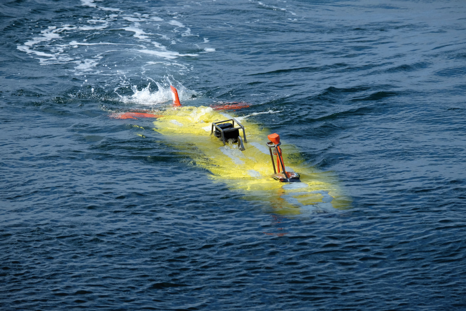
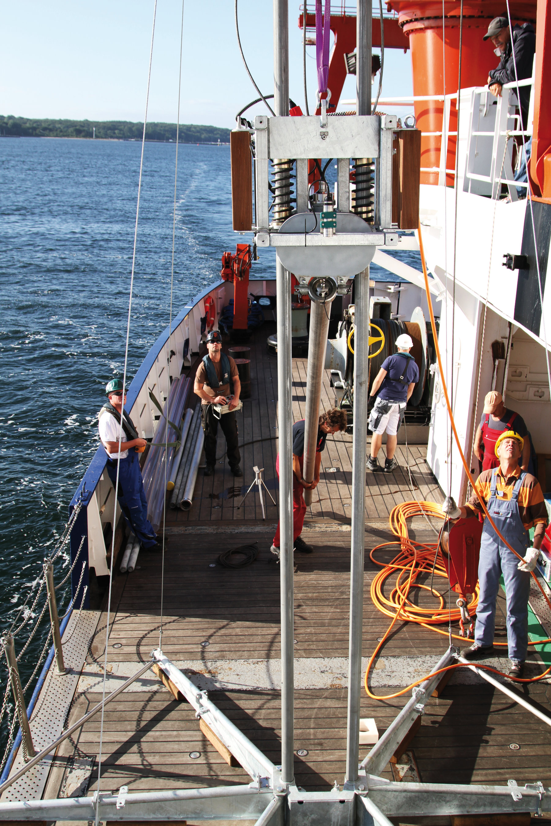
Kiel researchers believe that new technology may allow the driving forces behind marine natural disasters to be quantified for the first time. Improved imaging techniques now generate an extremely detailed view of structures on and beneath the seafloor, often by the use of remotely operated or autonomous subsea vehicles, or by the new technique of 3D P-cable seismology.
This new technology means that the science of geodesy, the exact measurement of the Earth, can be extended from the land to the ocean for the first time, and allows geodetic measurements from onshore and offshore to be combined. Submarine geodesy is a completely new field. Among other uses, its development will make it possible to map earthquake-related tension at the bottom of the sea. Undersea drones are another new technology. They will allow researchers to examine volcanic hazards much more precisely than before. Added together, these advances will allow natural science to improve the risk assessment studies conducted in Kiel for public benefit worldwide.
In the past, research on natural hazards has usually focused on individual risks, such as earthquakes, submarine avalanches or volcanic eruptions. Methodological innovations such as novel time-series analysis, and technological developments like seafloor geodesy, make it possible to take an integrated approach to investigating multiple oceanic hazards in a specific region or place. The working groups in Kiel have a unique ability to use these new techniques for shoreline-crossing research on oceanic hazards, and on the underlying processes which threaten coastal communities.
References
[1] Schwarzer, K., Bohling, B. und Heinrich, C. (2014) Submarine hard-bottom substrates in the western Baltic Sea - human impact versus natural development Journal of Coastal Research . pp. 145-150
[2] Spencer, T., Schuerch, M., Nicholls, R. J., Hinkel, J., Lincke, D., Vafeidis, A. T., Reef, R., McFadden, L. und Brown, S. (2016) Global coastal wetland change under sea-level rise and related stresses: The DIVA Wetland Change Model Global and Planetary Change, 139 . pp. 15-30, DOI 10.1016/j.gloplacha.2015.12.018.
[3] Koerth, J., Vafeidis, A. T. und Hinkel, J. (2016) Household-Level Coastal Adaptation and Its Drivers: A Systematic Case Study Review Risk Analysis . pp. 1-18. DOI 10.1111/risa.12663#
[4] Tjallingii, R., Stattegger, K., Stocchi, P., Saito, Y. und Wetzel, A. (2014) Rapid flooding of the southern Vietnam shelf during the early to mid-Holocene Journal of Quaternary Science, 29 (6). pp. 581-588, DOI 10.1002/jqs.2731.
[5] Merkens, J. L., Reimann, L., Hinkel, J. und Vafeidis, A. T. (2016) Gridded population projections for the coastal zone under the Shared Socioeconomic Pathways Global and Planetary Change, 145 . pp. 57-66, DOI 10.1016/j.gloplacha.2016.08.009